
MAPS
When visiting a new area, maps are a great resource for planning your adventure. With several wineries and breweries in the Columbia River Gorge, maps will be your passport to taste and explore local businesses. Fishermen will be searching for boat launches just as water sports enthusiasts will search for beaches and launch sites. Looking for waterfalls? The Waterfall Alley map is a great tool. And for those Sunday drivers and sightseeing visitors, the big map will show you the way.
NOTE: NEW PERMIT INFORMATION 2026
A $2 Timed Use Permit is needed to visit Multnomah Falls when you park on the freeway at Exit 31 and walk in. A limited number of same-day permits will be made available, free of charge, at the Gateway to the Gorge Visitor Center in Troutdale and the Cascade Locks Historical Museum.
For more information: recreation.gov
NEW: If parking at the lot across from Multnomah Falls Lodge on the Historic Highway, there is a year-round fee.
For fee schedule: sasquatchshuttle.com/sasquatch-parking-lots
WE ENCOURAGE USING A TOUR BUS TO AVOID PARKING HASSLES
For a list of shuttles see Guided Tours
Click on the below maps for larger detailed versions.

Columbia River Gorge & Surrounding Area Map

Mt. Hood Scenic Loop Map

Mt. St. Helens & Gifford Pinchot National Forest Map

Waterfall Alley Map

Boat Ramps in the Columbia River Gorge Map

Water Sports Map with detailed Launch Site information
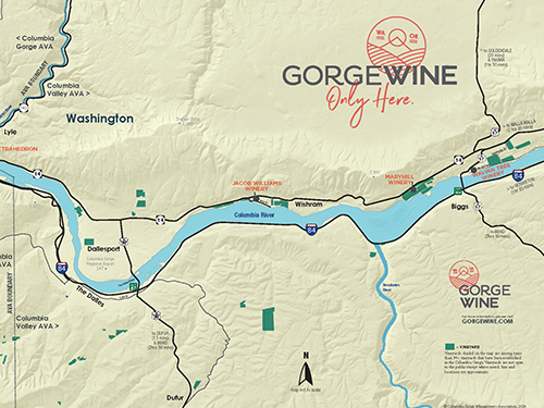
Gorge Wine Map

Breweries in the Gorge Map